Marxan Connect
The Problem
Connectivity, in its most general form, refers to the movement of individuals, energy, or materials from one area to another. Maintaining connectivity is the prerequisite for population recovery after a disturbance (e.g. storms, disease, etc), decreasing likelihood of species extinctions, promoting genetic diversity and maintaining energetic pathways among ecosystems. Connectivity also appears at the forefront of global international conservation policy, so as Aichi Target 11, which commits 197 countries to establishing “effective, representative, and well-connected” networks of reserves by 2020. However, despite its importance, connectivity is rarely incorporated in on-the-ground decision making for conservation. The reasons for this are two-fold: firstly, connectivity is inherently complex and dynamic - its metrics are not well defined or standardized, particularly for practitioners who often lack confidence or the expertise to work with them. Secondly, robust guidance and frameworks to identifying how to explicitly incorporate connectivity patterns in spatial planning are are lacking.
Our Proposal
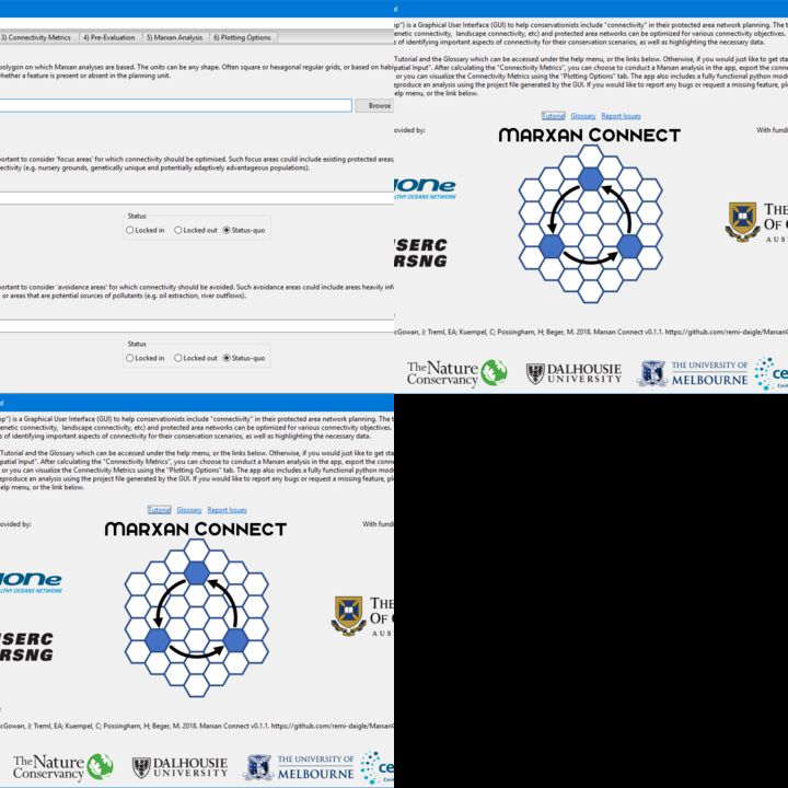
We are developing a new open source and open access tool called Marxan Connect to help conservationists operationalize connectivity within Marxan, the globally most used decision support tool for conservation planning. Our objective is to enable the selection and treatment of connectivity data to encourage its use in spatial conservation planning, providing Marxan Connect as a front-end tool that guides users through the complex issues of working out how to use their connectivity data for setting conservation objectives, choosing the metrics, and connecting them to Marxan. The Marxan Connect app is programmed in Python, and links with Marxan through guiding a user through the connectivity related conservation objectives and metrics, creating the correct input files, and then calling marxan to run the planning analysis. Finally, there are simple tools to display the outputs in maps, showing which areas have high conservation priority as part of a portfolio. In addition to further developments for the app, we propose to conduct 2 case studies. One in the Canadian Arctic in collaboration with WWF which represents a connectivity data-poor scenario, and another in coral triangle in collaboration with Rare representing a connectivity data rich scenario.
We Assume that...
1 Marxan Connect users have access to connectivity data but lack technical training to use them in spatial planning
2 The huge interest of conservation NGOs and government in connectivity will translate to tool use
Constraints to Overcome
We have developed the software, based on a single test data set. Our main barriers at this point are 1) the evaluation of "best practices", and 2) built-in evaluation of scenarios. Our software makes a number of potential methods and workflows available to conservationists; however, these have not been evaluated for performance in real planning scenarios. Doing so will allow us to make recommendations for best data or methods to use under particular situations and for different data types. It will also allow us to beta-test the app to ensure that we find bugs that will only show up by applying the tool to different data sets and contexts. To date, we have been limited by our inappropriate time resources to conduct the tool evaluation with real world case studies, even though the data needed are accessible to us through collaboration with the Canadian government, conservation NGOs, and scientists.
Current Work
We want to improve the software and have it widely adopted by conservationists. Marxan is used in over 100 countries across the world, we hope to eventually capture a substantial proportion of these users with our tool.
Current Needs
We require ideally funding for a 6 months technician/ analyst to implement case studies in consultation with end users, and assistance with communicating the tool.