Conservation monitoring AI
The Problem
Monitoring natural communities and their condition is important for many aspects of conservation (e.g., spatial planning, assessing the conservation value of lands for protection, verifying that mitigation activities meet requirements for certification, tracking progress toward goals). However, monitoring typically involves field surveys that can be difficult to fund, staff, and implement at scale. 1)Field surveys conducted by Natural Heritage programs provides data on the vegetation/ecological condition of natural communities that are important for conservation. Yet, these data are less widely available or upto date. 2)Manual natural communities monitoring and ecological surveys can be logistically challenging. 3)No easy way to predict the ranking of vegetation and ecological condition of natural communities like trees and plants
Our Proposal
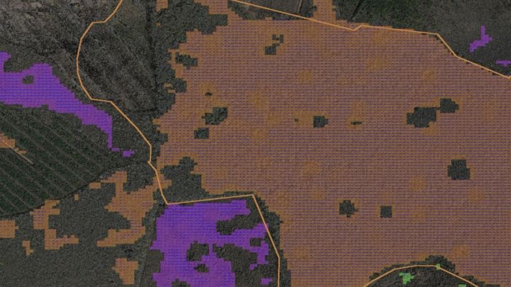
1)Use satellite imagery or remote sensing drone images to predict the element occurrence rank scores to evaluate and monitor vegetation ecological conditions and provide robust earth observation analytics for natural communities at fingertips for conservation efforts.) 2)AI model which utilizes pixel and patches from imagery to assign element occurrence/change detection rank. (i.e., A – excellent, B – high, C – fair, D – poor) 3)Classification and Segmentation of all the Natural communities using satellite and remote sensing data.
We Assume that...
Earth Observation Data We assume that accurate machine learning model to predict natural area condition using regularly available earth observation data.
Temporal transitions between species or communities (e.g., in the northeast, maple forest are transitioning to beech forests due to overbrowsing by deer)
Fixed effects such as species, community, and ecological regional identifiers
Seasonal and inter annual variability, which might be controlled for by precipitation
Constraints to Overcome
1)Single label prediction can not get accurate results for natural communities with overlapping area (will move to multi-label classification) 2)Some natural communities are dropped during extraction since its area is too small 3)Determining natural community and Element Occurence rank requires many features, satellite image can only provide part of them
Current Work
Solution testing, End user adoption, Tweaking the Machine learning pipeline
Current Needs
cloud infrastructure to deploy and train large dataset fundraising