Data - Easy, Accurate, Mobile
The Problem
The people responsible for protecting our food and water supplies spend significant time collecting, entering, and reporting on impact using a patchwork of digital and analog tools. This adds to costs, delays response times to threats and disasters, and inhibits data driven decision making. Existing solutions enforce silos through restrictive pricing models, in ability to share data, or technical barriers to entry. In addition existing solutions can not be deployed in remote locations with out internet. This results in Overwhelmed in-house staff Expensive contractors Patchwork of tools and software
Our Proposal
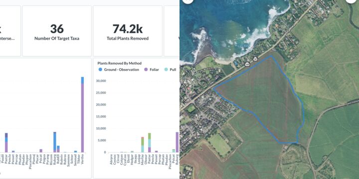
We have a software platform for land and conservation managers to measure, map, and share their impact in a cost effective, easy way. With prebuilt templates to help organizations get up and running. Shared taxonomy and drop down lists to help standardize data. Built in GIS and project management tools to help track goals. Dashboards and analytics to communicate results. We want to adapt our tool to better serve projects that work offline and in very remote locations.
We Assume that...
people actually want to work together to solve complex invasive species problems
there is political will and some financial support to solve these problems
Constraints to Overcome
Building and maintaining network to share and manage invasive species data. Existing solutions are either top down and focus on very high level goals. Bottom up where every one is doing their own thing and there is no inter organizational communication. Our solution provides a middle ground with tools for people that work in the field, coordinators, and funders
Current Work
Continue to build tools. Integrate and partner with other agencies. Build an offline standalone version of our platform. Integrate machine learning to help teams qa/qc data. Build a photo management and monitoring tool to help train AI models
Current Needs
Funding, customers, pilot projects
